
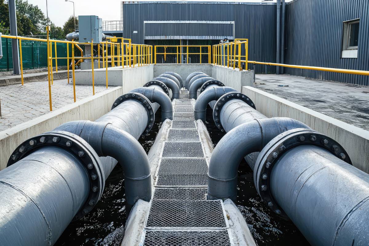
 Illustrative image – not actual.
The Pune Municipal Corporation’s (PMC) Integrated Command and Control Centre (ICCC) has launched a project to map 2,000 km of underground utilities.
Using advanced software, the initiative aims to provide accurate data on water pipelines, drainage systems, and cables to streamline maintenance and infrastructure planning. So far, 600 km along key road stretches have been surveyed, with the remaining mapping expected to conclude within the current financial year. This data-driven approach has already yielded critical results, identifying 120 locations where sewage lines may contact water pipelines, as well as highlighting several flood-prone zones. Previously, the absence of consolidated underground utility data led to planning challenges; this digital inventory will now serve as a blueprint for future works. Beyond utility mapping, the ICCC is significantly bolstering its disaster management capabilities.
The centre recently deployed drones at the Katraj fire station to provide real-time situational intelligence during fire emergencies, helping crews identify necessary equipment more efficiently. PMC plans to scale this drone technology across other fire stations in a phased manner. Collectively, these technological interventions represent a major step toward making Pune a smarter, more resilient city through integrated data and modern emergency response systems.