
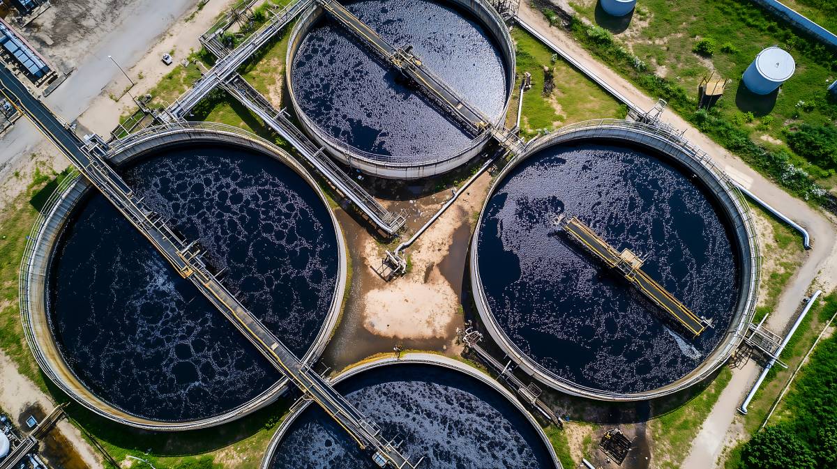
 Illustrative image – not actual.
Genesys International Corporation has secured a landmark project from the National Mission for Clean Ganga (NMCG), Ministry of Jal Shakti, for the comprehensive digital mapping of the River Ganga’s drainage system.
Spanning the states of Uttar Pradesh, Bihar, Jharkhand, and West Bengal, the project utilizes a high-speed constellation of sensors deployed via manned aerial platforms and unmanned aerial vehicles (UAVs). The initiative involves an Aerial LiDAR survey, high-resolution photogrammetry, and geotagged videography to document both natural and manmade drainage systems merging into the river. This will result in high-accuracy 3D LiDAR point clouds and orthorectified imagery, providing a "decision-ready" geospatial dataset. This robust digital foundation is designed to support detailed terrain analysis, river-corridor assessment, and downstream planning. By identifying precise drainage points and terrain features, the project will enable more effective monitoring and targeted interventions for river management.
The deployment of advanced geospatial technology underscores the government’s commitment to using modern data-driven strategies for environmental conservation and the technical revitalization of India’s most significant river corridor.